Mercatalog
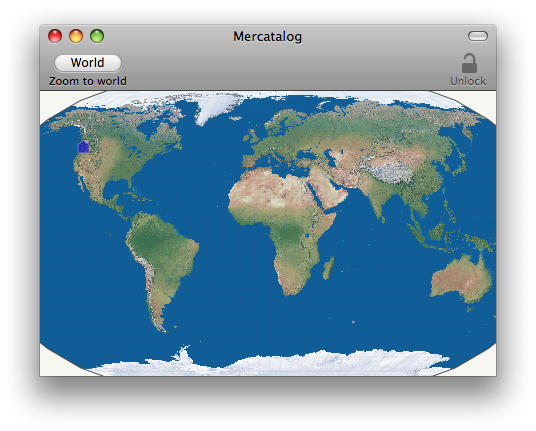
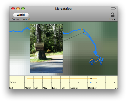
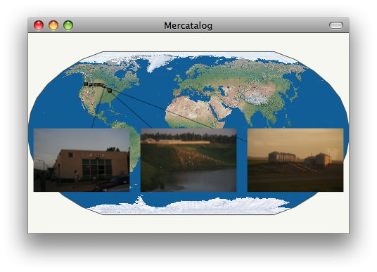
Find photos right where you took them. Mercatalog hides sophisticated geotagging algorithms behind a completely visual interface, helping you easily match your photos up with your GPS tracklogs. When you're done geotagging (it doesn't take long!), export as a KMZ file for viewing in Google Earth, or drag out copies containing EXIF location metadata.
Mercatalog is discontinued.
You may still download v1.0.1 to see what it was like,
but do NOT rely on it as a photo library. See important note above.
Universal binary, Mac OS X 10.5 Leopard required.


